
Secrets Of Armorica – Britain Was Formed From The Collision Of Three Ancient Continental Land Masses
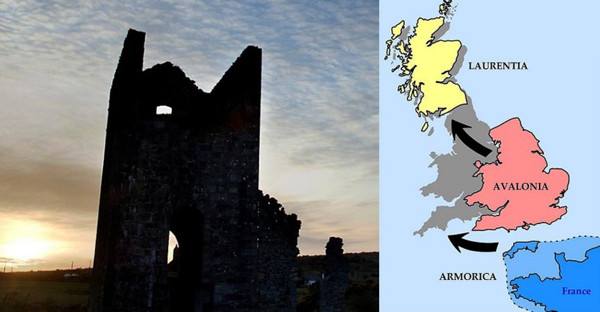
Eddie Gonzales Jr. – MessageToEagle.com – Scientists have for centuries believed that England, Wales and Scotland were created by the merger of Avalonia and Laurentia more than 400 million years ago. However, new research reveals Britain was formed from the collision of not two, but three ancient continental masses.
The third land mass is believed to be Armorica.
Geologists at the University of Plymouth have conducted an extensive study of mineral properties at exposed rock features found across 22 sites in Devon and Cornwall. These sites were left exposed following geological events, such as underground volcanic eruptions. These took place around 300 million years ago and brought magma from depths of 100 km to the Earth’s surface.
Credit: University Of Plymouth
According to researchers, a clear boundary running across the two counties, with areas north of it sharing their geological roots with the rest of England and Wales but everything south being geologically linked to France and mainland Europe.
Among other things, scientists believe the research explains the abundance of tin and tungsten in the far South West of England — metals also found in Brittany and other areas of mainland Europe, but not so evident in the rest of the UK.
See also:
Apocalypse In 2040 Predicted By MIT Computer – Unsettling Signs We Are Approaching The End Times
‘Gaia Puzzle’: Scientists Propose A Solution
“Snowball Earth” Caused By Plate Tectonics About 700 Million Years Ago
“This is a completely new way of thinking about how Britain was formed. It has always been presumed that the border of Avalonia and Armorica was beneath what would seem to be the natural boundary of the English Channel. But our findings suggest that although there is no physical line on the surface, there is a clear geological boundary which separates Cornwall and south Devon from the rest of the UK,” the research’s lead author, Lecturer in Igneous Petrology Dr Arjan Dijkstra, said in a press statement.
Scientists subjected the rock samples from each site to detailed chemical analysis in the lab using X-ray fluorescence (XRF) spectrometry.
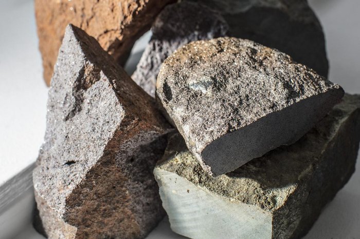
Some of the rock samples collected in Cornwall and Devon. Credit: University of Plymouth
The samples were also then dissolved in acid in order to conduct a more intensive isotopic analysis, with scientists examining the levels of two elements — strontium and neodymium — to understand the full history of the rocks.
These findings were then compared with previous studies elsewhere in the UK and mainland Europe, with the results showing the clear boundary running from the Exe estuary in the East to Camelford in the west.
“We always knew that around 10,000 years ago you would have been able to walk from England to France,” Dr Dijkstra added. “But our findings show that millions of years before that, the bonds between the two countries would have been even stronger. It explains the immense mineral wealth of South West England, which had previously been something of a mystery, and provides a fascinating new insight into the geological history of the UK.”
Written by Eddie Gonzales Jr. – MessageToEagle.com Staff Writer
Related Posts
-
 Coincidences Decide When Ice Ages Begin And End – Scientists Say
-
 Nine Climate Tipping Points Are Now Active – Scientists Warn
-
 Climate Change Will Alter Position Of The Earth’s Tropical Rain Belt
-
 Wood Wide Web: Secret Communication Of Trees
-
 What Changed The Green Sahara Into A Desert?
-
 Hollow Bones That Let Dinosaurs Become Giants Evolved At Least Three Times Independently
-
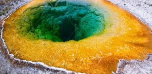
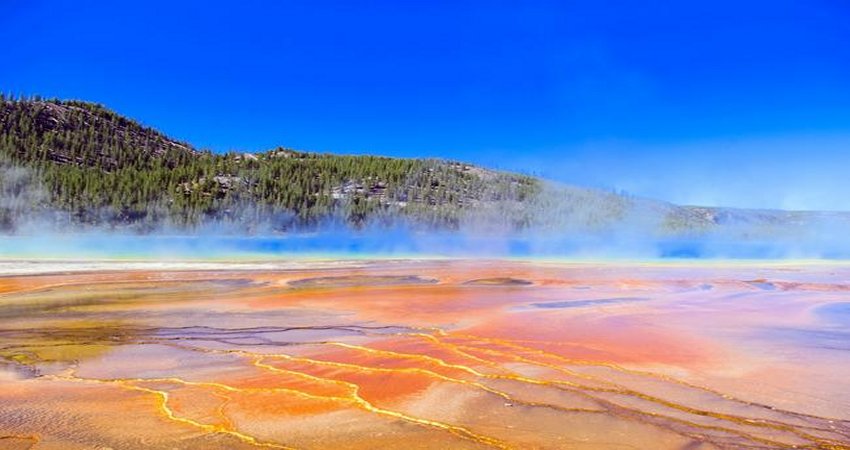 Why Have Nearly 100 Earthquakes Rattled Yellowstone In 24 Hours?
-
 Memories Of Your Ancestors Can Be Hidden In Your DNA
-
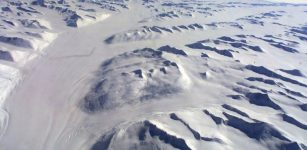 World’s Largest Volcanoes Are Hidden Beneath Antarctica Ice Sheet – Are They Still Active?
-
 Extreme Super-Organisms Thriving In Robust Environments Of Our Planet