
Mysterious Disappearance Of Sandy Island
MessageToEagle.com – The island, named Sandy Island should be located between Australia and New Caledonia in the south Pacific.
If you look at marine charts, world maps and Google Earth the island can be found, but in reality when you travel to the exact location there is nothing but ocean there.
This is what a group of scientists from Australia just experienced when they searched for the mysterious island.
Dr. Maria Seton and her crew were more than puzzled to discover Sandy Island had simply vanished, especially since it has regularly appeared in scientific publications since at least 2000.
“We became suspicious when the navigation charts used by the ship showed a depth of 1400 metres in an area where our scientific maps and Google Earth showed the existence of a large island,” Dr Maria Seton, a geologist from the University of Sydney, said.
“Somehow this error has propagated through to the world coastline database from which a lot of maps are made.”
“Even onboard the ship, the weather maps the captain had showed an island in this location,” Dr Seton said.
“We all had a good giggle at Google as we sailed through the island, then we started compiling information about the seafloor, which we will send to the relevant authorities so that we can change the world map,” Steven Micklethwaite from the University of Western Australia said.
Nabil Naghdy, the product manager of Google Maps for Australia and New Zealand, said Google Earth consulted a variety of authoritative public and commercial data sources in building its maps.

“The world is a constantly changing place, and keeping on top of these changes is a never-ending endeavour,” Mr Naghdy said. The surprising discovery took place onboard the RV Southern Surveyor, Australia’s Marine National Facility research vessel, during a 25-day research trip in the eastern Coral Sea.

Large fragments of eastern Australia split from the mainland as the Tasman Sea formed about 100 million years ago, when Australia split apart from the super continent Gondwana, which included Antarctica, India and Africa.
“This dispersed all the continental fragments in the area, which subsided and [went] below sea level,” Dr Seton, who docked in Brisbane on Monday, said.
See also: Strange And Unexplained Mysteries
“We went to find those fragments of our country,” she said.
It remains unclear how the island could have vanished. Perhaps it never even existed and the maps were incorrect and created based on some very old data.
Dr. Seton says she has no idea how the island came to be on so many maps, but she is determined to get to the bottom of the mystery.
© MessageToEagle.com
Related Posts
-
 Quantum Mechanics Could Explain Telepathy – Is Everything Connected?
-
 Our Reality Is A Hologram Controlled By An Evil Genius – Scientist Says
-
 Secrets Of The Egyptian Ankh Cross And Its Energy Properties Revealed
-
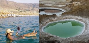 People Can Float In The Dead Sea
-
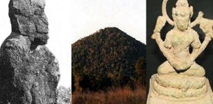 Mysterious Gympie Pyramid: Evidence Of An Ancient Lost Civilization In Australia?
-
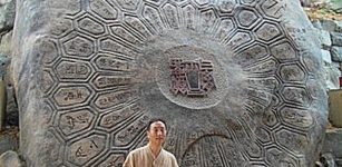 Giant Turtle-Shaped Rock Wangsan, Korea – One Of The Strongest Sources Of “ki”
-
 It Is Possible To Erase Fear From Your Brain
-
 Your Thoughts Can Change Your Reality – Says Scientist
-
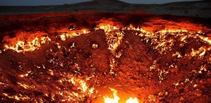 Door To Hell In Turkmenistan: Giant Darvaza Crater Has Been On Fire For Years
-
 Archaeological Evidence That Has Been Suppressed In The Name Of ‘Scientific Conformity’