
Map May Confirm The Legend Of The Mysterious Lost Sunken Welsh Kingdom Of Cantre’r Gwaelod In The Black Book Of Carmarthen
Conny Waters – MessageToEagle.com – A thorough scientific examination of a Medieval map may confirm a Welsh myth and offer evidence of the long-lost sunken kingdom Cantre’r Gwaelod.
Nicknamed the Welsh Atlantis, the mysterious land was first mentioned in written form in the mid-13th Century, but stories of the unknown kingdom are probably much older.

Scan of the Gough map scan produced by the Bodleian Library in 2010. Credit: Public Domain
The Welsh legend of Cantre’r Gwaelod, a lost land sunken below Cardigan Bay, has persisted for almost a millennium, but geographical evidence confirming the story’s authenticity has been missing.
This may have changed as two scientists examined a medieval map depicting two islands off the Ceredigion coast. Both these islands are lost to history, and each is about a quarter the size of Anglesey.
The story started when Simon Haslett, honorary professor of physical geography at Swansea University, searched for lost islands in Cardigan Bay while visiting David Willis, Jesus Professor of Celtic at the University of Oxford.
“One island is offshore between Aberystwyth and Aberdyfi and the other further north towards Barmouth, Gwynedd.
Prof Haslett explained that the two islands are clearly marked on the Gough Map, the earliest surviving complete map of the British Isles, dating from as early as the mid-13th Century,” the BBC reports
“The Gough Map is extraordinarily accurate considering the surveying tools they would have had at their disposal at that time,” Professor Haslett said.
“The two islands are clearly marked and may corroborate contemporary accounts of a lost land mentioned in the Black Book of Carmarthen.”
The map is held in the collections of the Bodleian Library at Oxford University.
Cardiff University’s Welsh folklore expert Dr. Juliette Wood – who was not involved in this research – said the Black Book’s account was key to anchoring the story in Welsh myth.
“The Gough Map may have its origins around 1280, shortly before that, around 1250, you have the Black Book of Carmarthen.
“It describes Gwyddno Garanhir’s country called Maes Gwyddno (Gwyddno’s Field). It was flooded because the well-keeper (Mererid) left the cover off the well.”
As reported by the BBC, “drawing upon previous surveys of the bay and understanding of the advance and retreat of glaciers and silt since the last ice age about 10,000 years ago, Profs Haslett and Willis were able to suggest how the islands may have come into existence and then disappeared again.
Prof Haslett also suggested it may explain some of the local folklore.
He said: “I think the evidence for the islands, and possibly therefore the legends connected with them, is in two strands.
“Firstly, coordinates recorded by the Roman cartographer Ptolemy suggest that the coastline at the time may have been some 13km (8 miles) further west than it is today.
“And, secondly, the evidence presented by the Gough Map for the existence of two islands in Cardigan Bay.”
He added folk legends of being able to walk between lands now separated by sea could be a folk memory stemming from rising sea levels after the last ice age.

Professors David Willis (left) and Simon Haslett (right) researched the lost islands of Cardigan Bay. Credit: Jesus College Oxford.
“However, legends of sudden inundation, such as in the case Cantre’r Gwaelod, might be more likely to be recalling sea floods and erosion, either by storms or tsunami, that may have forced the population to abandon living along such vulnerable coasts,” he added.
“In roughly a millennium, from Ptolemy’s time to the building of Harlech Castle during the Norman period, the seascape had completely altered.”
“Later maps show the islands had disappeared, yet further up the coast at Harlech, the castle which was built to have a strategic advantage on the coastline now found itself more or less landlocked,” he added.
“The erosion of any islands here would have released boulders that are likely to have contributed to the accumulation of the distinctive stone structures known locally as sarns.”
Dr Wood believes these sarns have played a vital part in perpetuating the story.
‘Re-enchanting the land’
“People now as much as then want to find a way of explaining things which seem simply unexplainable; especially during tough times,” she said.
“I’ve seen the sarns myself, and they are incredibly convincing. You could easily believe that their uniform structure was once part of a lost civilisation, however the catch is that most of these stories don’t come back into fashion until the 18th Century.
“I call it re-enchanting the land, the romanticists amongst the Celtic population want to find meaning and a belief system to make sense of the current hardships.”

Cardigan Bay – Aberystwyth – Wales. Credit: Adobe Stock – Adwo
Dr. Wood added that similar “Atlantis” legends can be found around most of the world, particularly in Europe.
“These migratory stories emerge when the facts fit the myth. They come and go all over the place, but especially when phenomena like the sarns appear.
“Rather than saying that the island’s discovery proves the folklore, I’d say that the proof is coincidental and that the two truths can exist independently of each other.”
However, Prof Haslett warned his findings could have more bearing on the future than the past.
“These processes didn’t happen just once, they’re still on-going.”
“With rising sea levels and more intense storms it’s been suggested that people living around Cardigan Bay could become some of Britain’s first climate change refugees, within our lifetimes.”
Profs Haslett and Willis have published their findings in the journal Atlantic Geoscience
Written by Conny Waters – AncientPages.com Staff Writer
Related Posts
-
 200 Tons Of Silver Hidden From The Romans On The Shores Of The River Lahn
-
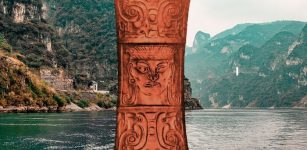 Mystery Of Ancient Chinese Shijiahe Civilization Collapse Solved
-
 2,500-Year-Old Phoenician Shipwreck Being Rescued By Archaeologists
-
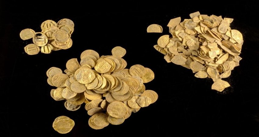 Rare Trove Of 1,100-Year-Old Gold Coins Found By Teenagers In Central Israel
-
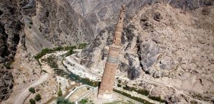 Mysterious Minaret of Jam – Ancient Missile-Like Skyscraper Pointing To The Stars
-
 Copper Artifacts Reveal Changing Connections In Prehistoric Europe
-
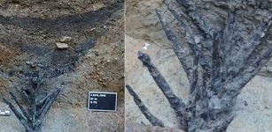
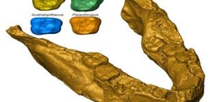 Fossil Tooth Analysis Sheds More Light On Earliest Humans From Southern Africa
-
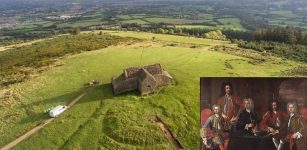 Mysterious Ancient Tomb Discovered At Hellfire Club In The Dublin Mountains: What Dark Secrets Are Hidden There?
-
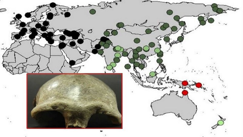 Denisovan DNA Found In The Genome Of Oldest Human Fossil Discovered In Mongolia
-
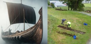 Spectacular Find – 20-Meter-Long Viking Ship Discovered In Salhushaugen Gravemound, Norway